
Tracing a Millcreek Street
Start a Millcreek Township street search with the Erie County address screen, not a surname. That approach creates a parcel lead first, then lets the record trail move to transfers and recorded instruments. It does not produce a public roster of everyone associated with a road. A parcel owner, a seller, a buyer, and a person listed in an old directory can all be different people. Dates and document roles matter.
The following order keeps the Millcreek Township by-address process focused on sources that are actually keyed to an address. It also preserves a useful fallback when the ordinary county screen does not display all of the information a reader wants.
- Open the Erie County Property and Tax Search and enter the house number when known, the direction, and the bare street name.
- Save the parcel number or address result, then use the linked parcel-map route and the Township viewer for visual context around that location.
- Check the County’s current transfer presentation for a transaction lead tied to the same Millcreek Township address.
- Take the known party, recording detail, or legal-description clue to the Recorder’s party-based route rather than expecting a direct address search.
- For a historical household lead, ask Blasco Heritage Room staff whether a selected suburban/Millcreek volume has an address or reverse section.
Each stage answers a narrower question. A parcel connects to land records, while a dated directory entry can connect an address to a printed listing for that edition. Neither result establishes every member of a household.
Search Millcreek Streets by Address
Erie County publishes a specific format for an address search. Leave off “Street,” “St.,” “Road,” and “Rd.” from the name field, then choose the directional component separately. For West 38th Street, the County’s example is Street Name “38” with direction “West.” All of the address fields are optional, so a broad street query may need careful narrowing. The parcel-number path has a stricter rule: it accepts exactly 14 digits with no spaces.
| County search control | How to use it | Local limitation |
|---|---|---|
| House Number | Add it when known to focus an address result. | It is optional, so a broad search can return more than one lead. |
| Street Direction | Select the directional part separately, such as West. | The published text does not expose the full live option list. |
| Street Name | Enter only the name or number, without a suffix. | “38” is the County’s documented West 38th example. |
| Parcel Number | Use 14 numeric characters without spaces. | This route requires the complete parcel number. |
| Recent Transfers and Parcel Map | Follow the supplied links after identifying a property. | They are leads, not a full title history or household list. |
| Owner tab | Use only with the required registered, signed-in account. | County research documents a $100 unlock payment for this tab. |
The County property-search screen is the right first stop for a Millcreek Township address query because it exposes the address and parcel routes together.
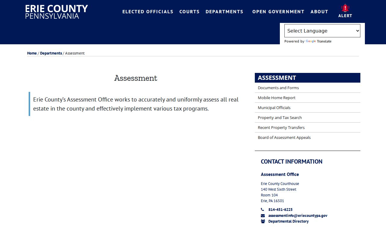
Use the result to preserve the spelling, direction, and parcel clue before moving to another office. Those details prevent a later deed or permit request from being tied to the wrong property.
Note: The county does not advertise a public whole-street export, a ZIP filter, an owner-name search, or freely viewable owner detail in the ordinary screen.
Millcreek Parcel and Transfer Clues
The $100 owner-tab condition creates a real split between a public parcel lead and controlled owner detail. The ordinary address and parcel routes, transfer link, and map link can still support a careful next step. Erie County Assessment is the counter fallback for a specific parcel or copy question: 140 W. Sixth Street, Room 104, Erie, PA 16501, telephone 814-451-6225. Its published basic-copy rates are $0.50 for an 8.5×11 black-and-white copy and $1 for color.
A current transfer row has useful but limited fields. It can show the municipality, address/details, seller/buyer, price when present, and date. The seller or buyer field identifies transaction parties. It is not proof that either party currently lives at the address. A mailing address also serves correspondence and may differ from the physical location of the parcel.
The Erie County Recent Property Transfers table supplies the current transaction view used in this street-by-street method.
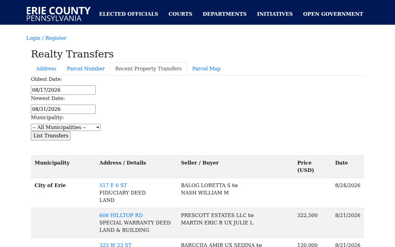
Record the transfer date, party roles, and address/detail text, then use those facts to frame a question for the Recorder. Do not treat an empty price or a single row as a complete ownership timeline.
Millcreek Street Directory Records
A Millcreek Township street-record workflow uses several keepers because no one local source does every job. The county assessment record is the parcel anchor. The Township supplies geography and land-use context. The Recorder preserves documents through a party and instrument chain. Blasco is the historical listing layer. The table separates what each source can show from what it cannot establish.
| Address record | Millcreek Township question | Custodian and access | What remains unproven |
|---|---|---|---|
| Property and tax search | Which parcel matches this address? | County address or parcel-number route; Assessment counter. | Every current household member or free owner-tab detail. |
| Recent transfers | Which recent transaction concerns this property? | County transfer table, then Recorder follow-up. | Continuous title or present-day residence. |
| GIS Property Viewer | What general parcel geography and nearby features surround it? | Township ArcGIS map. | A survey-accurate boundary or full owner database. |
| Recorded land documents | Which parties and instruments form a deed trail? | Recorder INFOCON service or Room 121 counter. | A direct address search or complete resident roster. |
| Zoning and permit material | What project or land-use file relates to the address? | Zoning office, monthly report, or a targeted RTKL request. | Every person connected with the property. |
| Blasco directories | Who was listed at or near a historical address in an edition? | On-site Heritage Room; ask about address sections. | Ownership or an unbroken residence timeline. |
That division of labor matters. A street name can identify the parcel route, but it does not transform restricted voter information into a neighborhood roster. Pennsylvania’s public voter-information lists have a statutory purpose limit, and the state’s official voter tool is an individual-status service rather than a street-directory source.
Millcreek Street Deed Trail
The Recorder stage is named-party and instrument driven. A recent transfer or known party can begin a grantor/grantee search, followed by document type, date, book/page, instrument number, and legal-description clues. Erie County says recorded documents are indexed and scanned, but its county-linked INFOCON channel is fee-based and the research did not locate a detailed public form or dropdown inventory. For a historical book, image, or legal-description question, the counter is the practical fallback.
The Erie County Recorder of Deeds is in Room 121 at 140 W. Sixth Street, Erie, PA 16501, and can be reached at 814-451-6246. Its official page lists deeds, mortgages, satisfactions, leases, powers of attorney, and UCC material. The by-address workflow therefore hands the address clue to a document index; it does not claim that the Recorder offers a published direct street search.
- Parcel
- A county identifier for a property. In this workflow, it is the bridge from the street address to assessment and map records.
- Situs address
- The physical location of the property. It differs from a mailing address, which is used for correspondence.
- Legal description
- The description of the recorded land interest in a deed or plat. It helps the Recorder distinguish properties with similar street references.
- Plat
- A recorded plan or map of land that may be part of the legal-description trail for a parcel or subdivision.
- Grantor and grantee
- The parties named in a recorded transfer. Their roles must be read with the instrument and date, not treated as current-residence proof.
- Reverse or criss-cross directory
- An address-oriented directory section, if present in a particular volume, that can provide a dated historical listing.
Note: INFOCON is a fee-based subscriber service, so confirm current access, image availability, and copy costs with the Recorder before relying on an online result.
Millcreek Street Map Limits
Millcreek Township’s new GIS Property Viewer is valuable for orientation. Its published description covers general property boundaries, nearby features, community layers, and general property information. Locate the address, inspect the visual context, and carry the street or parcel clue back to the county system. The published material does not verify a person-name query, owner retrieval, ZIP filter, export method, buffer tool, or map-to-Recorder link. Those functions should not be assumed from the presence of a map.
The Township GIS Property Viewer landing page also gives the essential comparison: the viewer provides a general location, while only a professional survey establishes a legal property boundary.
| GIS viewer | General parcel geography, nearby features, community layers, and context for Millcreek Township address research. |
|---|---|
| Professional survey | The appropriate source for a legal boundary determination, not a map label or parcel outline on a general viewer. |
The viewer is a timely local layer, not a substitute for title work or a survey. That distinction keeps a visual clue from becoming an unsupported claim about a street or property line.
Millcreek Street Directory Permits
Township permit and planning records can explain a project or land-use action at an address. The Zoning and Development Division maintains building records and plot plans, issues zoning permits, and coordinates planning applications. Its public site offers a monthly zoning-permit-report route, but the research did not find a name- or address-searchable permit-history database. Start with that published report, then ask for an identified permit, plot plan, or code record.
The Millcreek Zoning and Development page documents the office’s record role and permit categories.
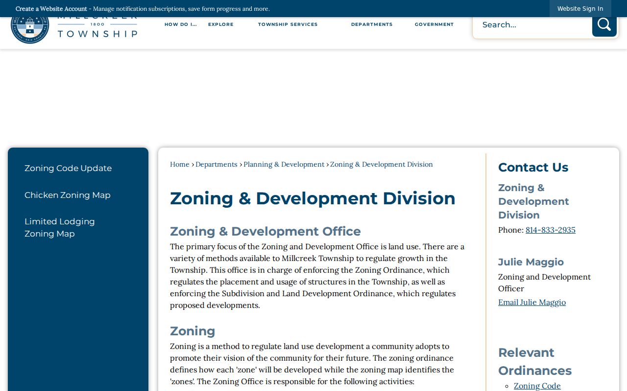
Zoning files may identify an applicant, owner, contractor, property work, or plan history. They do not establish a complete list of people at an address.
The Planning and Development Department is at 3608 W. 26th Street, Erie, PA 16506, telephone 814-833-6096. It is an offline access channel for identifying the relevant record series or permit number.
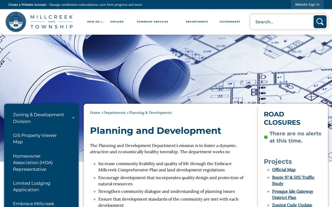
For a record the office does not place online, use a narrowly described request rather than a broad street sweep. The Township’s RTKL process asks for records, not answers to open-ended questions.
The Township Right-to-Know page identifies the public-records route and its ordinary five-business-day response period.
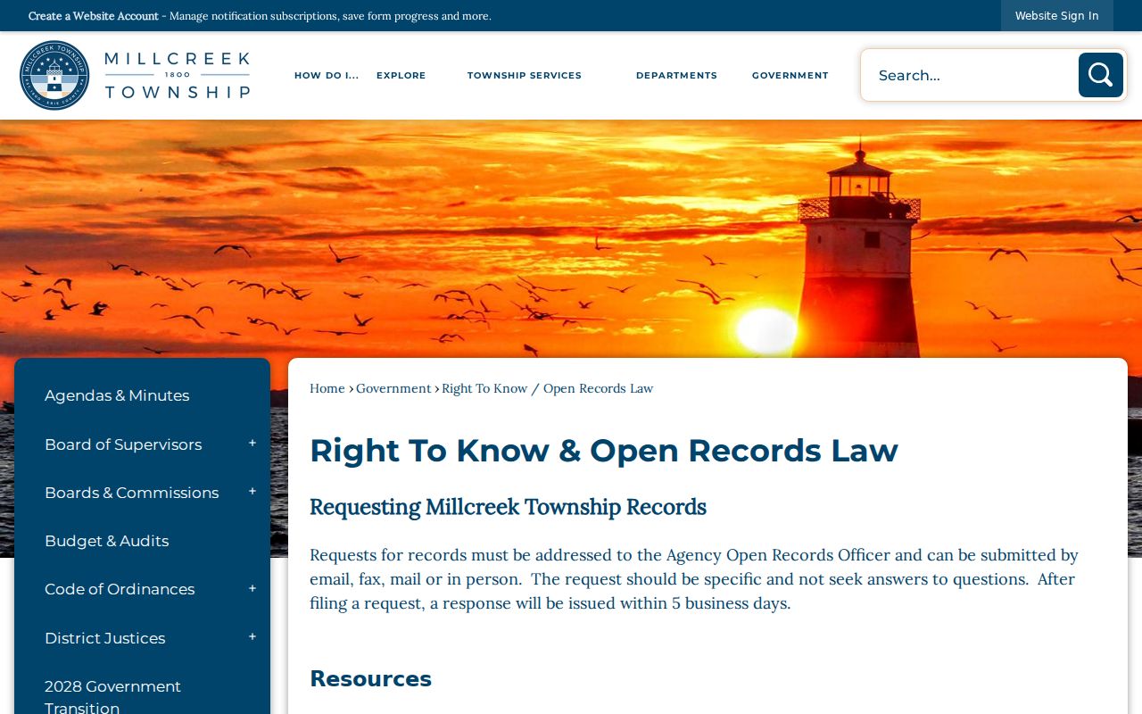
For non-police Township records, the research identifies Megan Moore as the open-records officer. The web form accepts an identified record description and offers printed, in-person, or electronic copies.
The Millcreek RTKL record-request form shows the detail, delivery, certification, and fee-notice choices available to a requester.
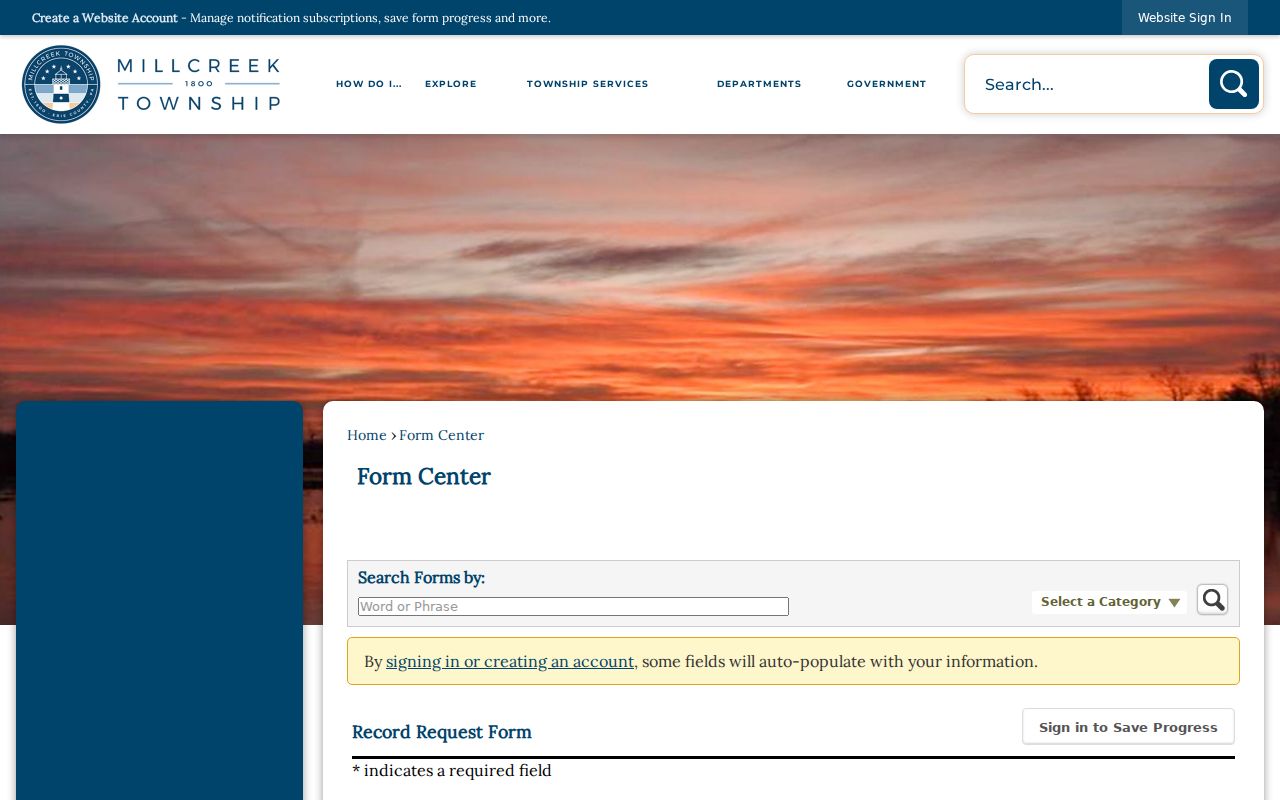
A certified copy has a stated $5-per-record charge on the form. Review at the Township during business hours is free, while copies follow the adopted fee schedule.
Millcreek Street Directory History
The historical layer belongs at the Blasco Memorial Library Heritage Room, 160 E. Front Street in Erie. Erie city directories begin in 1853, while suburban or Millcreek directories begin with the 1957 edition. That divide matters because an absent name in a city volume is not necessarily an absence from a Millcreek Township address. Ask staff for a chosen year and ask whether the particular volume has a street, address, reverse, or criss-cross section.
Read the volume’s printed abbreviation key before expanding an entry. Then compare the same address in adjacent editions. The Heritage Room’s newspaper microfilm, census holdings, historic maps, and obituary resources can provide dated context, but they should not be used to turn one directory line into a full residence timeline. The Library of Congress Sanborn material, covering 1921 through August 1950 for part of Mill Creek Township and related localities, can describe older built environment rather than ownership or a household.
The Millcreek Township street directory keeps this historical source narrow: it is a dated listing check after the parcel and document trail, not a replacement for the Millcreek Township city directory collections.
Millcreek Street Geography Checks
A street label and postal label do not settle jurisdiction. Millcreek Township is one of Erie County’s original townships, and the City of Erie later annexed portions of the original Township. The research identifies 16505, 16506, and 16509 as ZIP codes commonly serving Millcreek, but ZIP codes are postal delivery constructs rather than township boundaries. An “Erie, PA” mailing city alone cannot decide whether a property is in the Township or a nearby municipality.
Use the County parcel information and Township viewer to check jurisdiction for a specific address. The research did not locate a verified Township-wide numbering scheme, parcel-number decoding rule, ZIP realignment year, or street-renumbering year. A Millcreek Township street record should leave those unknowns unknown instead of filling them with a familiar-looking pattern.
Limits on Millcreek Street Research
Property and deed records usually identify a land owner or transaction party, not every person connected with a location. Directory listings are tied to the publisher’s date and collection method. Driver and vehicle information is separately protected under Pennsylvania law and the federal Driver’s Privacy Protection Act. A license plate or street address does not provide a lawful shortcut to those records. Utility-customer information is not made public through this street-record process.
Pennsylvania’s Address Confidentiality Program supplies eligible participants a substitute address for many public-facing records. Treat a substitute address as intentional safety protection. Voter information also has a statutory purpose restriction: public-information-list access requires identification and a written statement, and use unrelated to elections, political activities, or law enforcement is prohibited. It cannot be repurposed into a Millcreek Township street roster.
Lawful use. Use address records for personal, lawful research and verify important details with the actual custodian. Pennsylvania prohibits stalking, threatening, intimidating, or harassing another person.
Note: If a record appears wrong, contact the office that maintains it, such as Erie County Assessment for a property-record correction, instead of asking an unrelated service to alter it.